Interactive live mapIn development
Aircraft, vessels and satellites on one live map
An interactive map showing aircraft, vessels and satellites on the move. We build it ourselves, it is free to use and still a work in progress.
- Type
- Our own development project, free to use
- Sector
- Interactive live map
- What we did
- UX/UI design, Web development, Data-source integration
- Website
- fleyra.app
01The idea
We wanted to see whether real-time data from different sources could live in one simple interface that is pleasant to use, on desktop and phone.
02The build
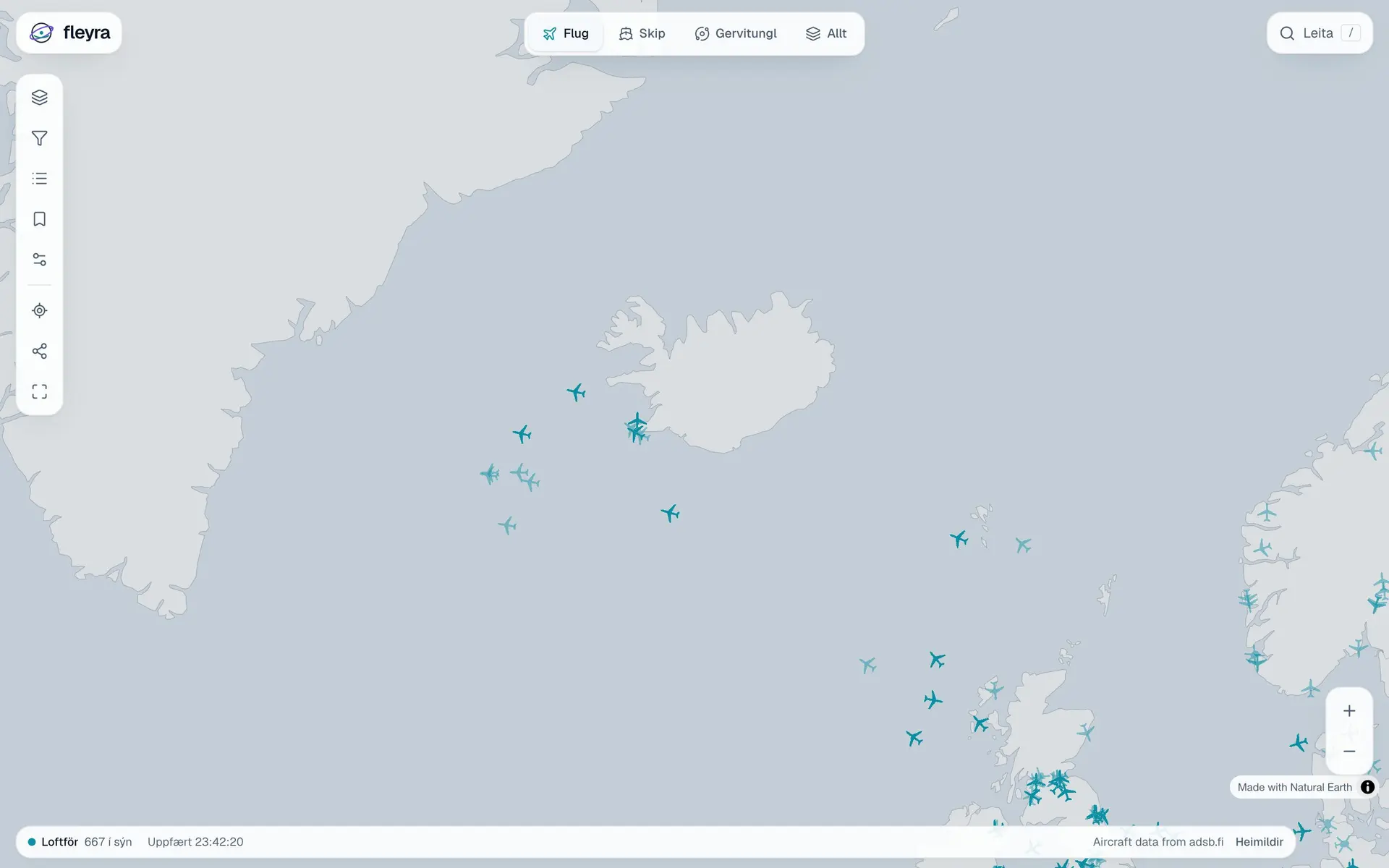
Fleyra pulls data on air traffic, shipping and satellites from three providers and shows it on a map that updates as it changes. You choose what to see, search, filter, browse a list of what is on screen, save a map view and share it with others.
Key features
What matters to users
Three layers on one map
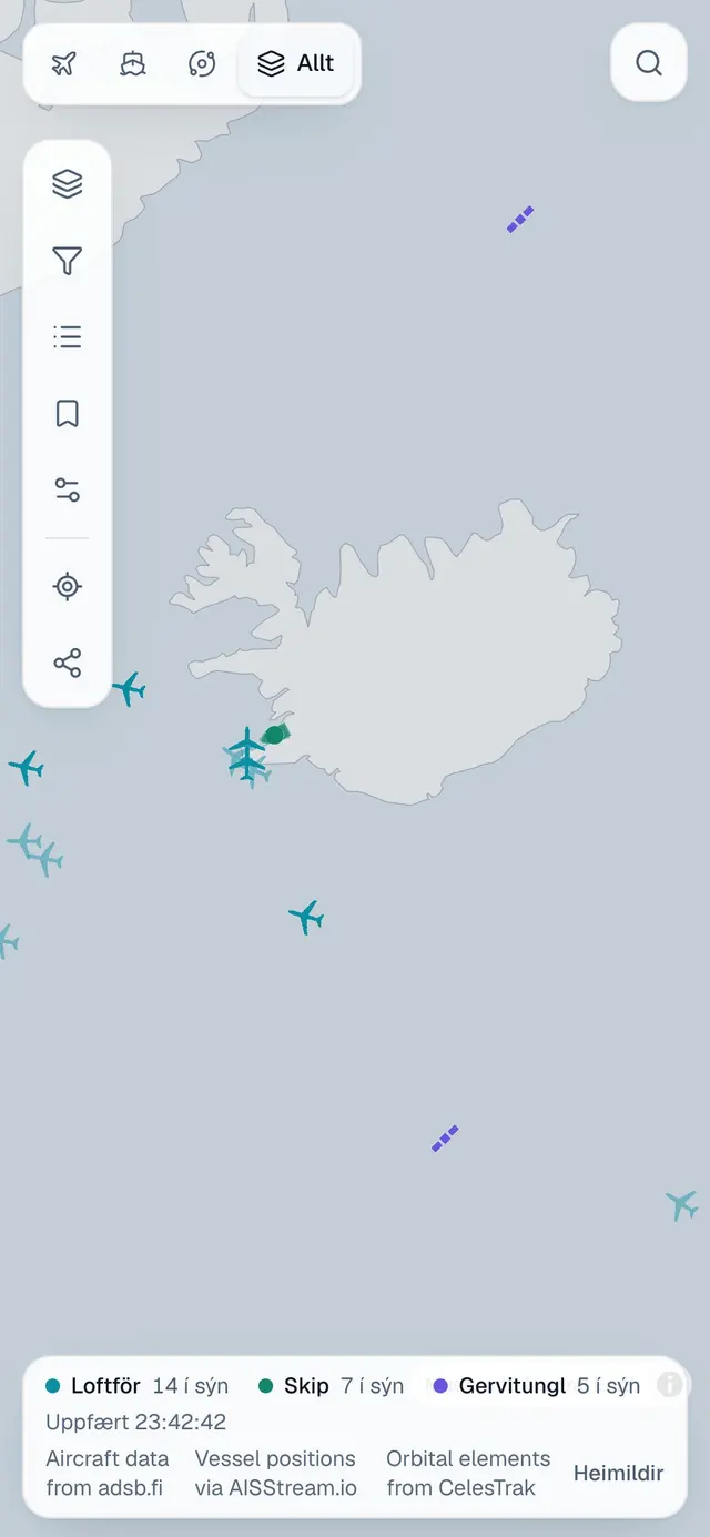
Aircraft, vessels and satellites, one at a time or all together.
Search, filters and list
Find a specific aircraft or vessel, or narrow the map to what you want to see.
Saving and sharing
Save a map view and send others exactly what you see.
On mobile
Just as clear on a small screen
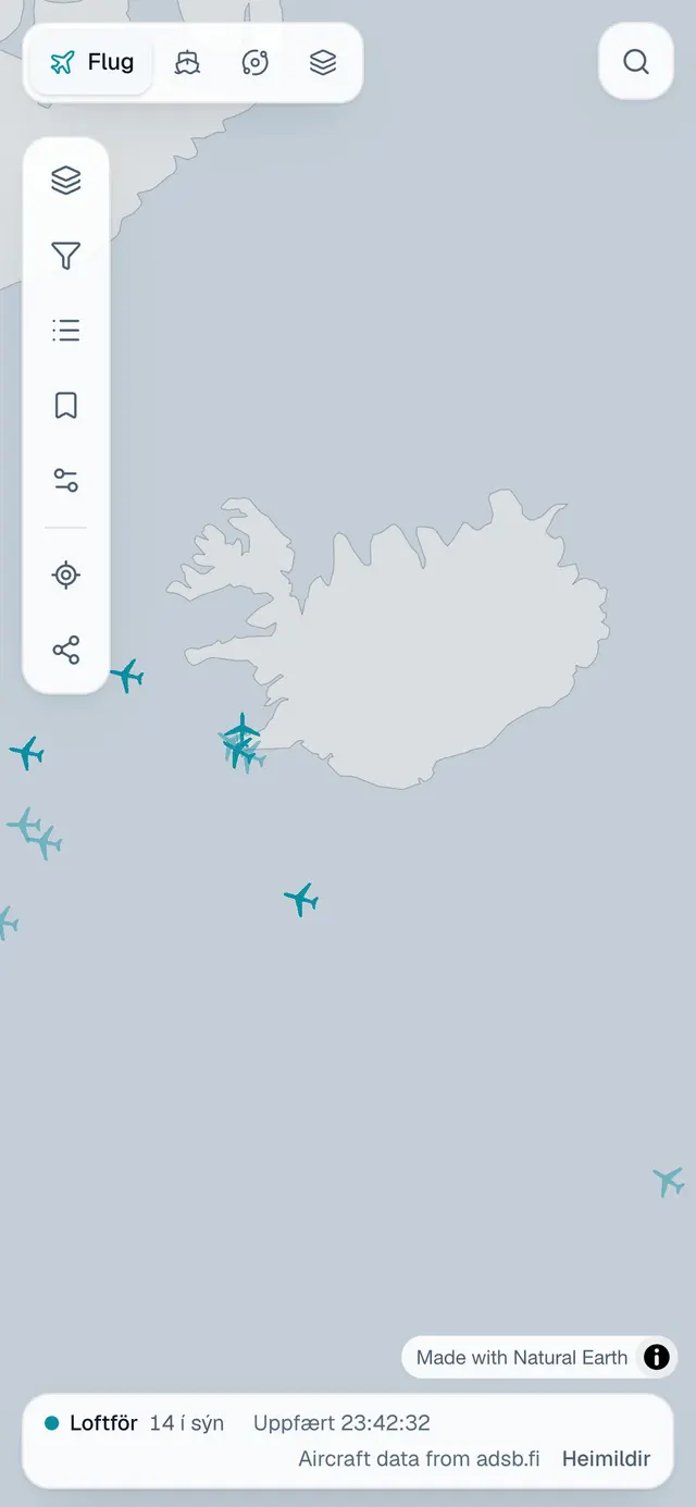
A large share of visitors arrive on a phone. Every step is designed to work as well with a thumb as with a mouse.
What we did
- UX/UI design
- Web development
- Data-source integration
Tech stack
- Next.js
- React
- MapLibre GL
- Supabase
Website
fleyra.appLet's talk about your project
If you need something similar, tell us where things stand and we'll reply with a realistic assessment of the next steps.
Next project
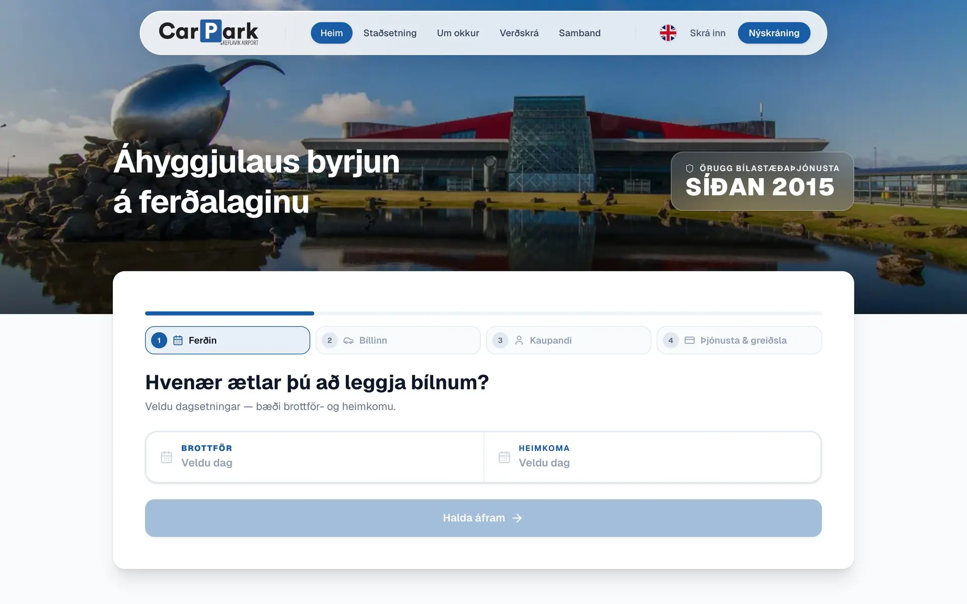
Carpark
A simpler booking flow customers actually finish